
Precision
GNSS RTK and total station fieldwork, checked against control before anything is drafted.

One team for the survey, the design and the build, so the boundary you paid for is the boundary you build on.
When Geoplat onboards you, you get a private portal. Type your survey plan number or any boundary pillar number and your parcel appears on satellite imagery with its coordinates and area.
Clients sign in to see their own parcel on the map.
We work alongside larger firms and local specialists to put the right team on each project, whatever its size.
GNSS RTK and total station fieldwork, checked against control before anything is drafted.
Honest advice on title, boundaries and cost, even when it is not what a client hoped to hear.
We agree a programme with you up front and keep you informed as it moves.
We protect our crews and the public from injury and risk on every site we run.
Fit-for-purpose designs and lean site management that make the most of your budget.
Surveying, design and engineering run as one joined-up process. Swipe or tap to see each one.
Timelines are typical for a single plot. Estates and large parcels are scheduled at consultation.
We review your documents, the land's history and what you need the survey for, then send a written quote.
1 – 2 daysOur party chief's crew picks up control, fixes or plants beacons and measures the boundary with GNSS RTK and total station.
1 – 10 days · scope dependentData is computed and checked, then the survey plan is drafted and signed under a registered surveyor's seal.
2 – 5 working daysYou receive the signed plan and digital files, the record copy is lodged with the Surveyor-General, and your parcel is loaded into the client portal.
Plan, files & portal accessOne design team, one model: architects, structural and MEP engineers work together from your brief to approved drawings.
We agree your brief and budget, and start from our own survey of the site: boundary, levels and setbacks, so the design fits the land from day one.
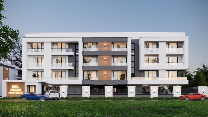
Brief, budget & site planOur architects develop layouts and 3D views for you to review. We refine them with you until the plan, look and cost are right.
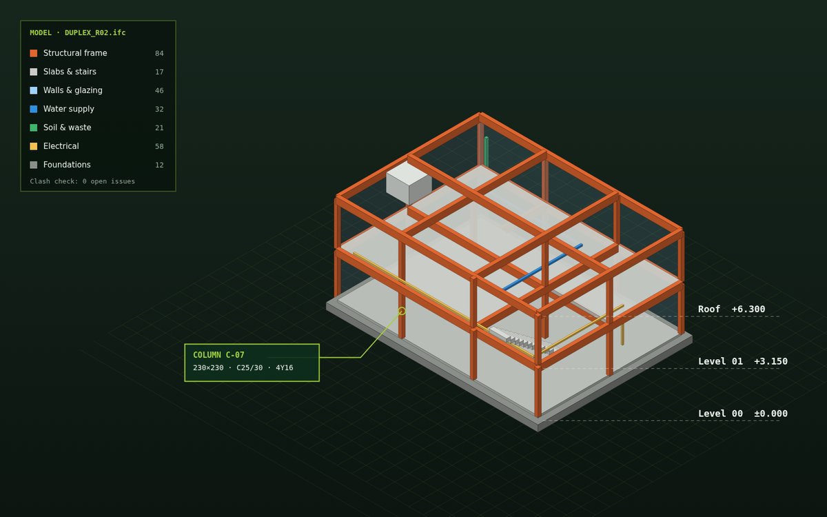
Plans & 3D viewsThe architectural, structural and MEP designs are modelled together in one BIM model. Clashes are resolved on screen and quantities come straight from the model.
One coordinated modelWe prepare and submit drawings for planning approval, then issue the working drawings, bills of quantities and model to our engineering team. Nothing is lost between design and site.
Approved, buildable drawingsGIS and BIM tie every stage together. The survey sets the ground truth, the model coordinates the work, and the same model follows the site to handover and beyond.
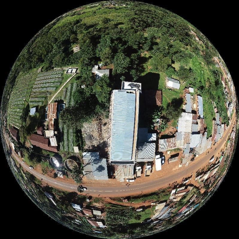
We survey the site and bring the boundary, levels, drone imagery and utilities into one GIS base, so every decision starts from where things really are.
GIS site modelThe coordinated BIM model is linked to the programme and the budget. Every task, material and cost is tied to the part of the building it belongs to.
4D schedule · 5D costThe site is set out from survey control. Progress, inspections, photos and spending are updated as work moves, and you follow them live in your client portal.
Live in your portalYou receive the as-built model with equipment, warranties and service dates attached, and we can maintain and manage the facility for you.
7D facility record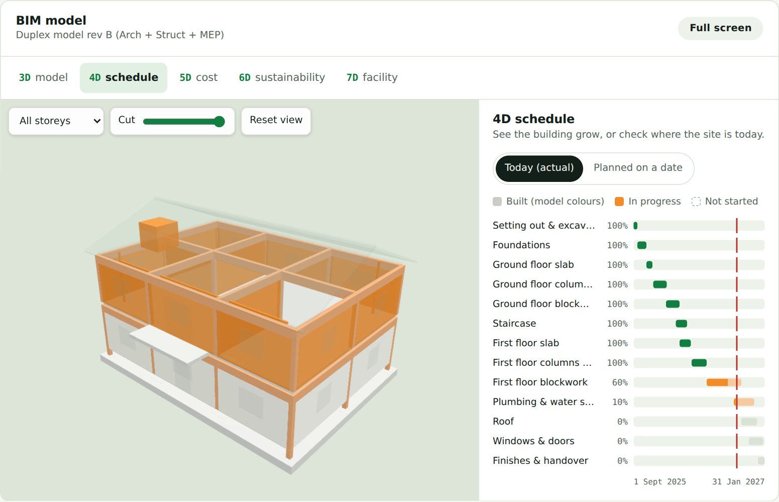
Every engineering client gets the project's BIM model in their Geoplat client portal. Sign in from your phone or laptop and see what is happening on site without waiting for a report.
Since 2019, Geoplat Limited has delivered land surveys, estate layouts, designs and buildings for private owners, developers, schools and industry. We pair modern survey technology with proven methods across cadastral and engineering surveys, GIS and BIM, and construction project management.
To become a leading geospatial and infrastructure services company providing quality geo-information services and allied products for the built and un-built environments.
To offer quality geo-information services and allied technology products to our clients locally and internationally through experienced professionals and time-tested methodologies.

A Registered Surveyor and Project Management professional known for getting quality results from available resources. Under his lead, Geoplat delivers projects within planned deadlines and budgets.
Send the location and what you need, anywhere in Nigeria. We reply with next steps and a written quote.
D5, Ashbell Apartments, Titilayo Asupoto Street, Alpha Beach, Lekki, Lagos State